 The amphitheater is the most recognized feature around Trappers Lake
 Crossing the outlet
 Looking southeast from across the outlet
 A close up of the same formation
 From the southern overlook
 A close up of the willows in the fading lightThe amphitheater is the most recognized feature around Trappers LakeCrossing the outletLooking southeast from across the outletA close up of the same formationFrom the southern overlookA close up of the willows in the fading light
 The right-hand side of Skinny Fish Lake. There was one tent on the far end but not another soul around.
 Looking south from the parking area
 Looking up the drainage from the parking area
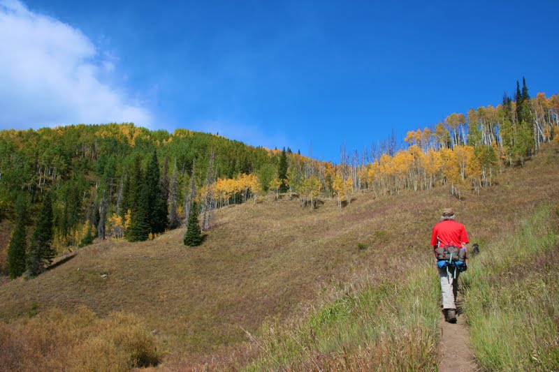 The initial pitch. The sky is still blue, but storm clouds are brewing to our left.
 The lower portion of the trail winds through Aspens. The forest was damp and earthy, just what I want in the fall.
 Even the undergrowth was putting on a show
 Looking back down the drainage. The sky is getting more threatening
 Our first glimpse of the effects of the Big Fish Fire
 A scenic creek. It is raining by now.
 Fall willows and dead trees make a startling contrast
 The Chinese Wall comes into view. This picture does nothing to capture the scale. The wall dominates the valley and seems to loom over everything.
 Looking back towards the trailhead from the middle of the meadow.
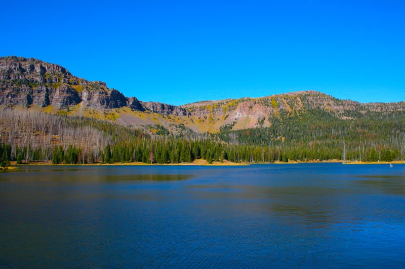 Looking straight across Skinny Fish Lake to the Chinese Wall beyond. Blue skies return. Such is Colorado and why we always carry rain gear.
 |
| The approach to Native Lake. We ate lunch on that large boulder that surveys the scene. |
 The start of the route
  Several early switchbacks are narrow and precipitous
 Looking west at Hagerman Road
 Looking down the drainage. You can see the trail far below.
 Crossing a pleasant open area
 The first view of the tundra
 Mount Massive comes into view
 Looking east off the plateau towards Leadville and the Mosquito Range.
 Several small ponds dotted the tundra
 Heading down the other side
 The first view of the lake
 Looking west on the route down to the lake
 A trail segment down in the valley
 The lake comes into view
 Admiring the grasses on the lake floor
 Thunder Lake
 Getting the Llamas ready to go
 View of the trail
 Stream along the trail
 Llamas crossing a stream
 Farther along the trail
 The ranger cabin with the lake in the background
 Thunder Lake
 Meadow as seen from the cabin
 The right side of the lake
Distance: 4 miles round trip Elevation: 9,180 ft to 9,780 ft Elevation Gain: 600 ft Dogs: Off leash until the wilderness boundary North...


