Distance: 2.9 miles one way, 5.8 miles round trip
Elevation: 8,824 ft - 9,473 ft
Elevation gain: 649 ft net (790 cumulative)
 One of the larger meadows that the Mesa Cortina Trail crosses
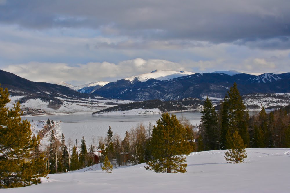
I was surprised by the Mesa Cortina Trail. I had thought it was mostly in the pines, but the trail crosses several expansive meadows with great views of the Williams Fork Range and also travels quite a bit through a large Aspen grove before hitting the trees.
 The trailhead
 A more lush and living part of the trail
Many of the Lodgepole pines are dead, but I found these sections to be less depressing then I would have thought. I was traversing this trail on the way
South Willow Falls, which I'll blog next and doubt I would have chosen to walk this trail as a destination in and of itself, but for quick outing, it is not bad at all.
 A not so living part of the trail
 There were many downed trees we needed to walk over
 Looking back at an intersection with an unnamed trail heading east. The sign is pointing to the Mesa Cortina to the right.
Popular with families that live in the area, we ran into several groups with young kids. They did peter out after the first mile and a half though and we were alone until the trail intersected with an unmapped trail coming from South Willow Creek.
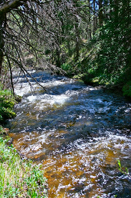 South Willow Creek
 The intersection with the Gore Range Trail at 2.91 miles. This is technically the end of the Mesa Cortina Trail.
As a final note, the trailhead is located part-way up Buffalo Mountain in a residential area. The parking lot is small and there is no bathroom. The Eagles' Nest Wilderness begins 0.82 miles into the route.