Distance: 5.5 miles round trip
Elevation: 8,954 ft - 9,365 ft
Elevation Gain: 411 ft
Bathroom at Trailhead: No but plenty nearby
Dogs: Off leash
Date Hiked: 2 October 2015
Tags: #coloradooutdoors, #hiking, #river
 |
| The peaceful South Fork of the Williams Fork River along the South Fork Trail |
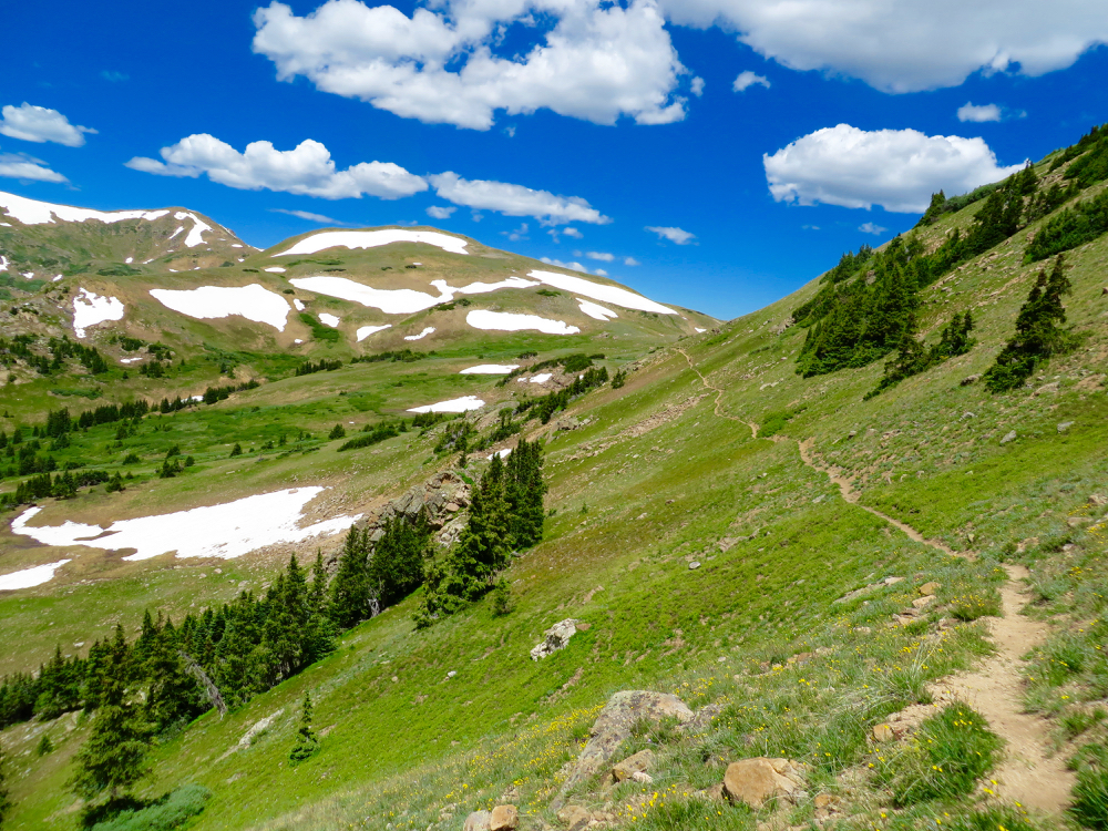
The South Fork Trail in the Williams Fork Valley east of Silverthorne CO is a heavily forested twenty-three mile loop that travels through two riparian valleys and across a 12,000 ft ridge overlooking Pettingell Peak.
 |
| The Williams Fork Parking/Picnic area |
 |
| One of the few trail markers in the area |
For day hikes, you can walk along either the South Fork of the Williams Fork River, which is the to the west, or along the Williams Fork River on the eastern side of the loop. This post describes the western route starting from the Williams Fork Trailhead, sandwiched between the South Fork and Sugarloaf Campgrounds.
 |
| The South Fork Campground group site (show coming out of the trail) |
 |
| Starting out on the trail |
Accessing this trail is an exercise in patience, since most of the area is unmarked and there is no forest service information about the trail. Most of this post will describe just finding it!
To get to the South Fork Campground from Silverthorne, take the Ute Pass Road (CR 15) east and then turn right onto County Road 138 in the Williams Fork Valley just past the Henderson Mill. Follow the road until it travels through two short tunnels under the Henderson Mill's conveyor belt.
 |
| Fir trees and undergrowth |
 |
| First meadow off to the left |
Just through the tunnel is a large brown sign pointing to the left for the campgrounds and to the right for the Upper South Fork Trailhead. The trailhead this sign refers to is actually miles down Forest Service Road 142. It does access the western side of the South Fork Trail, but since the trailhead is not listed on the Trails Illustrated Map we turned around in confusion and you may too.
 |
| Another typical trail segment |
 |
| Another river view |
There are two places to access the western side of the trail. The first is near the near the group campsite of the South Fork Campground. A small trail sign exists to the right of the vault toilet and the trail seems to travel through the group site and up into the valley. There does not appear to be any legal parking in this area, but since this campground is sparsely used, you may choose to park there anyway.
 |
| Slight incline |
 |
| Looking down on the river from a small bluff |
The official place to park is at the Williams Fork Trailhead, a small run down picnic area, located between the South Fork and Sugarloaf Campgrounds. This is actually labeled the "South Fork" Trailhead on the Trails Illustrated map, which adds to the confusion. While there is a gravel path that connects the two spots, you may not find it from the parking area itself since it is so overgrown. Instead, follow the road back up 100 yards towards the South Fork campground until you see the gravel path traverse off to the left. This path will take you right back to the group site described in option one. Walk to the back side of the group site, and you will see the distinct trail heading out along the creek.
 |
| Peak-a-boo |
 |
| Area opening up |
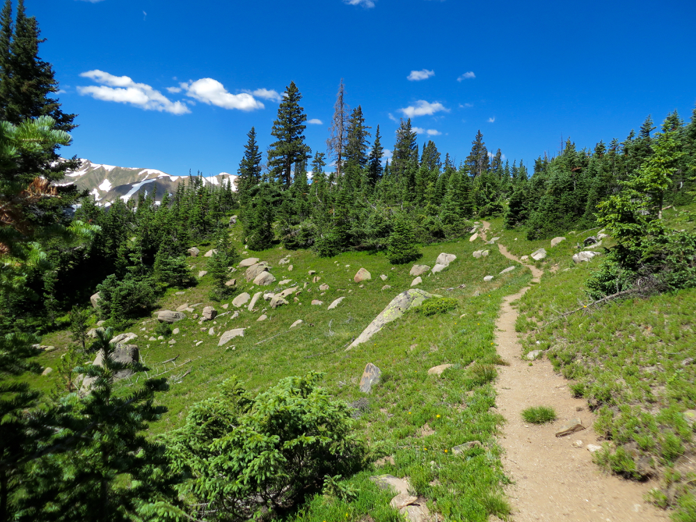
The trail itself follows the creek in a mixed Lodgepole/Spruce Forest. Even in the fall there are several places where the trail is very soggy with water draining from open meadows to the left. The river is ever present but sometimes is right next to the trail and other times hidden by the trees. The view does not change much, but the trail is soft, gradual, and suitable for folks who want quiet, solitary experience.
 |
| One of the side streams near our turn around point |
 |
| Talus field |
A good milestone for a day hike is the large meadow 2.5 miles in, measured from the parking area. It is located just down from a sharp rise, the only elevation gain on the route, where several streams converge. A large talus field exists off to the left.
Some things that will help. The Trails Illustrated map has a better trail, but mislabels the trailhead and does not show the Upper South Fork Trailhead. The Latitude 40 map is small, but shows the entire loop, the Upper South Fork Trailhead, and the two campgrounds. The Williams Fork Trailhead is marked with a yellow T, but is unlabeled.