Thursday, April 27, 2017

Fish Creek Falls (Lower and Upper)

Distance: 0.5 miles round trip to the Lower Falls, 5.4 miles round trip to Upper Falls
Elevation: 1,227 ft
Elevation Gain: 7,530 ft -8,757 ft
Bathroom at Trailhead: Yes
Fees: $5/vehicle or Federal All Access Pass
Tags: #waterfall, #hiking, #coloradooutdoors, #steamboat

Fish Creek Falls near Steamboat Springs, CO
Lower Fish Creek Falls near Steamboat Springs, CO is a perennial favorite with tourists because of its dramatic setting and 280 ft drop. The lower falls can be accessed via a short 1/4 mile gravel path that most folks can access. At the bottom is a bridge over the creek that affords everyone the chance to be Ansel Adams without having to step far from the car. Spring runoff is a particularly good time to visit, just be advised you won't be alone and may have to bump a few selfie-stick holders off the bridge to get your shot.

Nearly accessible trail to the lower falls
Typical rockier segment
Upper Fish Creek Falls is 2.2 miles further up the trail and is a lovely hike for those with the ability. The route wanders in and out of Aspen groves, which makes it particularly pretty in Autumn. The falls themselves are shorter than the lower falls but are much more accessible. You can scramble right up to the base if desired or stand back for an optimal view.

Example of a softer trail segment
The day we hiked to the upper falls, it was snowing and foggy and yet there was still yellow leaves on the trees so we ended up Jekyll and Hyde'ing it between Autumn and Winter every few hundred yards. Humidity is not my friend and I grumbled because my eyeglasses kept fogging up and I expelled my breath with each lurching step upwards. The return trip was better and I could marvel and the gorge the trail follows as well as the Aspen gauntlets that had everyone cooing. Had their been puppies and kittens too, world peace would have spontaneously occurred.

Upper falls
Autumn bling
The trail to the upper falls alternates between soft trails and exposed rock, the latter of which can be quite slick when wet.

Fall colors in the fog
To get to the trailhead, travel north on third street then turn right on fish creek falls road and travel 4 miles to the trailhead. The parking lot is large but can easily fill up.

Monday, March 27, 2017

Lionshead Rock (aka Cougar Trail)

Distance: 4.5 miles round trip
Elevation: 8,005 ft - 9,463 ft
Elevation Gain: 1,458 ft
Dogs: Off leash
Bathroom at Trailhead: No
Tags: #coloradooutdoors, #hiking, #minturn, #vail
Nearby hikes: Game CreekTwo Elks Recreation Trail

The view from the Lionshead Rock near Minturn, CO
Lionshead Rock in Minturn, CO is a local icon and a quick jaunt to this dramatic promontory is a great way to boost the blood flow to brain while getting fido out at the same time. While the route is mostly in the trees, the views at the end of the Mt. of the Holy Cross and surrounding valleys is worth the wait.

Heading into the Aspen Grove
Lionshead shares the first half mile with the Game Creek Trail, and the initial sign only mentions Game Creek. Both start out next to a home and quickly climb uphill to a small shelf skirting private property. Strings of rope and surveyors tape admonish the hiker to stay way from their land. Once past this property, the trail dips back down to the valley floor and crosses the creek at a small bridge. The route then stays on the left side of the creek until the junction with the "Cougar Trail", located on the other side of the creek. It is this trail that takes you to Lionshead Rock. There is no bridge over the creek and in the spring run off this can be a raging torrent.

A softer trail segment
The remainder of the trails switchbacks up through the trees. At one point is passes around a large Aspen grove that is filled with brim in the spring with wild raspberry bushes. At 1.0 miles is a small overlook and shortly thereafter the trail turns sharply eastward and heads dramatically and painfully upwards for almost half a mile. This segment is both unrelenting and very rocky but cardiovascular distress is what makes Lionshead so popular, so dig out the defibrillator and take it at a jog. At 1.9 miles is a second overlook while the rock itself is at 2.25 miles.

Lionshead is part of a larger escarpment that is all slowly eroding
While the trail continues beyond the rock, you'll recognize the destination without difficulty. A short spur trail heads slightly downwards and then upwards onto a broad flat plateau suspended in the air above Minturn. Be advised that a large chunk of this rock broke off in 2014 so use caution while venturing outwards. Eventually mother nature will claim the entire promontory in her perpetual desire for a new look through the geological equivalent of a lift and tuck (mountain building and erosion for those who like to impress their friends with scientific jargon).

The spur trail to the rock itself
If you don't mind the extra weight, Lionshead rock is a great spot for an afternoon libation combined with gourmet snacks. The adjacent hillsides are filled with Aspens and the wind always seems to blow sweetly, if sometimes a tad forcefully. As a bonus, the route down is not technically difficult in case your decide to consume all your provisions to save the weight on the way down.

You get to the Lionshead Trail from Hwy 24 in Minturn, which is just south of I-70 and just west of Vail. As you enter Minturn, look for bridge to the left as 24 merges into Main Street. Take this left turn and pass north of the large Saloon. Just past the Saloon is Rail Rd. Turn right here and then left on Taylor Road. This dead ends nears some homes. You will probably see one or two cars parked in a small parking area to the left. The trailhead itself is up a short (100 yard) spur that travels between the houses. A small wooden sign marks the start. Note this is the same trailhead for Game Creek. Lionshead splits of a half a mile up the trail.


Sunday, February 26, 2017

Hog Canyon

Distance: 1.6 miles round trip
Elevation: 5,380 ft-5,508 ft
Elevation Gain: 128 ft
Dogs: Not allowed
Bathroom at Trailhead: Yes
Tags: #pioneers, #hiking, #dinosaurs
Hikes nearby: Fossil Discovery Trail

Yellow Rabbitbrush as the start of the trail
Hog Canyon is a short trail on the Utah side of Dinosaur National Monument. If you are visiting the Quarry and its wall of bones anytime in the spring or summer, then Hog Canyon is a must do. Its pastoral beauty will be a welcome change to the bare sediment of the rest of the monument. 


Entering the canyon
The Hog Canyon Trail wanders along the edge of a large rock wall and slowly up a small slot canyon until it dead ends. This is not a desert hike, however, but a stroll through an oasis that boasts a bubbling brook and a symphony of croaking toads and chirping insects. Toss in some dappled sunshine and grasses waving in a gentle breeze and you have a recipe that could save thousands in psychotherapy fees. That in itself may be worth the very long drive to Dinosaur National Monument.

Lovely summer grasses
Let me warn you however that in the event of a bird flu apocalypse, Hog Canyon is all mine! I intend to load up the car with a years supply of ramen noodles and beat feet to Utah. Not only is there a serviceable cabin on the premises, but a real spring for year round water. There are areas to graze and spots to garden. In fact the previous owner, Josie Bennet, lived there quite contentedly until the 1960s.

The trailhead to Hog Canyon is located 10 miles east of the Quarry Visitors Center at the end of Cub Creek Road.

Saturday, February 4, 2017

Sourdough South Snowshoe

Distance: 5.4 miles round trip
Elevation: 9,252 ft - 10,053 ft
Elevation Gain: 838 ft (cumulative)
Bathroom at Trailhead: Yes
Dogs: Off leash
Tags: #snowshoe, #coloradooutdoors

Trailhead
The Sourdough Trail north of Nederland on Highway 72 is a popular spot for local winter enthusiasts who don't mind the crowds or limited views. The trail is actually quite long, traversing from County Road 116 in the south to County Road 112 (Brainard Lake Road) in the north. This post profiles a southern segment from the trailhead to the Peace Bridge over Four Mile Creek at 2.7 miles one way.

Map of the route. Star at the end marks the location of the Peace Bridge.
Sourdough is mostly in the trees
The Sourdough trail ascends rather gradually at first but then turns sharply upwards at 0.8 miles where the route makes a sharp left turn at an open vista of Niwot Mountain. At 1.4 miles the route crosses an open road and at 1.9 miles there is a large sign marking the trail. There are two small drainages that are crossed that can be easily seen on the map. The bridge itself is located at the bottom of a deeper drainage and may be obscured by snow. The sign for it can only be seen from the other side. The terrain is in the trees most of the time, which can provide shelter on a blustery day.

Rare "peak-a-boo". Mt. Niwot
Old sign at 1.9 miles
While the parking lot is large and is split into three fingers, it still fills up rapidly on winter weekends, so plan accordingly. The trailhead is located across the road from the parking area and is marked by a large kiosk.

Last downhill pitch to the bridge
To get to the trailhead, travel north on Highway 72 out of Nederland for approximately 8 miles and then turn onto County Road 116. CO Rd 116 is plowed but will be snow packed. The parking lot is located a quarter of mile or so on the left.

Peace bridge
The official sign is only visible after crossing the bridge

Saturday, January 21, 2017

Pioneer Union Ditch Snowshoe

Distance: 5 miles round trip
Elevation: 9,971 ft to 10,597 ft
Elevation Gain: 626 ft
Dogs: Off leash
Bathroom at Trailhead: No
Tags: #snowshoe, #coloradooutdoors
Nearby Snowshoes: Hefferman Gulch Road

Rare "peak-a-boo" along Pioneer Union Ditch
Pioneer Union Ditch near Idaho Springs is a great place to snowshoe if you hate the hordes, love the seclusion of the trees, and don’t mind finding your way. It spends only 0.7 miles on a well-defined path before diving off into a deep valley filled with interlocking mining roads.

Map showing the route up Pioneer Union Ditch

Leaving Leavenworth Road and heading into the Pioneer Union Ditch

The trail begins on north side of Guanella Pass and starts up Leavenworth Creek Road, which heads towards the Waldorf Mine. There was no street sign for this road, but it occurs at the first major switchback coming up from Georgetown. Within 0.7 miles, the route leaves the road, which continues sharply upwards towards the right, and instead dives into Pioneer Union Ditch, following old mining roads that hug the valley floor.

Hard packed snow, dogs and trees.
Typical segment along a road and in the trees
Since this is a valley, it is actually hard to get lost. Persistent power lines head west and Leavenworth Creek Road is 200 yards and several hundred feet above on the right.

Crossing a more open area
Creek Crossing
There is little or no mountain scenery on this trail, but there are Aspens, meadows, and the sound of a crackling brook. On this trip, there was little to no snow for the first 1.5 miles but after that, it picked up. Most of the elevation gain is in the first mile.

Heading back down on Leavenworth Creek Road
While we decided to turn around at 2.5 miles Pioneer Union Ditch continues to parallel Leavenworth Creek Road for miles and miles. As an alternative it is about 6 miles (one way) to the Waldorf Mine.

Friday, December 30, 2016

Grizzly Lake

Distance: 8 miles round trip
Elevation: 10,653 ft - 12,531 ft
Elevation Gain: 1,878 ft
Bathroom at Trailhead: No
Dogs: On leash (Wilderness)
Tags: #coloradooutdoors, #hiking, #aspen

A hike to Grizzly Lake near Aspen is a must do
Grizzly Lake near Aspen CO has just become one of my all time favorites. Not only is the trail soft on the paws, but it ascends a breathtaking valley with high walls on either side. When I did the hike in early fall it appeared as if some celestial artist had dribbled the valley walls in green and rufus paint that oozed downwards in an abstract display of color.

Trailhead
The start of the route heads upwards into the trees
West side of the valley
The first 0.6 miles steeply ascends a dense Lodepole forest before breaking out into a stunning glacial valley filled with grasses and spotty willows. Until the final ascent at the end of the valley, the trail weaves in and out of the trees and even crosses a persistent snowbank. It is impossible not to stop and gawk and the peaks on either side of the route. At 2.1 miles is the ruins of an old cabin. There is one stream crossing towards the end of the valley that was easy to navigate, but which would be more problematic in early spring.

East side of the valley
Heading up the valley
A little further up the route
Looking up at the initial shelf
Like most mountain tarns, Grizzly Lake is tucked at the top of a glacial shelf that is not visible from below. There are two shelves that must be ascended before the final "long switchback" that leads to the upper shelf comes into view. The first shelf is reached at 3.1 miles and the lake itself at 4. All this ascending is arduous with 800 ft being gained in the last mile of the hike. We did this in threatening weather and had to practically bolt upwards in a frantic attempt to reach the lake before Armageddon unfurled. The lake itself is somewhat anticlimactic but the views looking back down the "long switchback" are worth the final ascent.

The first shelf
Heading up the second shelf
Small lake on second shelf
The major downside of this hike is the long 6.3 mile kidney jostling dirt road one has to slog through to get to the trailhead. We argued the entire time about whether a high-clearance AWD could make the trip. For most of it, they could, but there were one or two very iffy spots that would give me pause in such a vehicle.

On the long switchback
Looking down on the second shelf
The rock wall to the south of the long switchback
You get to the trailhead by driving eleven miles east of Aspen on highway 82 towards Independence Pass to Lincoln Creek Road. Turn right and drive 6.3 miles on the dirt road to Grizzly Reservoir. The trailhead is on the left of the red buildings of the back country work camp. If you have never driven highway 82 out of Aspen, be prepared to dodge the ubiquitous Porsches that seems to barrel down the road driven by the crazed "locals" who pop in for the weekend on their private jets. In several places the road narrows precipitously and only one car can pass at a time. Recently, there has been quite an issue with commercial trucks who are prohibited from taking the road, but who do so anyway. Big truck + narrow road + expensive car = really bad day.

At the lake
Heading back down as the weather cleared

Thursday, December 1, 2016

Harpers Corner

Distance: 2.2 miles round trip
Elevation: 7,574 ft
Elevation Gain: 300 ft
Dogs: No allowed, National Monument
Bathroom at trailhead: No
Tags: #coloradooutdoors, #hiking, #geology, #scenicviews, #findyourpark

Steamboat Rock and the convergence of the Yampa and Green Rivers
Harpers Corner in the Colorado side of the Dinosaur National Monument is a short nature trail across a narrow isthmus to one of the most stunning desert views in the state. From this lofty promontory, the convergence of the Yampa and Green Rivers appear far below along with the white canyons they have carved across the millennia.

You have to really want to visit Harper's Corner however. The Dinosaur National Monument exists in the far northwestern corner of the state. It is "out there". The nearest town to stay in is Rangley, which is 20 miles from the entrance station and then it is a long 31 miles from the entrance to the trailhead. We were in the area to attend the Meeker Dog Trials and so it made sense to add Dinosaur to the menu.

Faulting is evident in these vertical rock layers
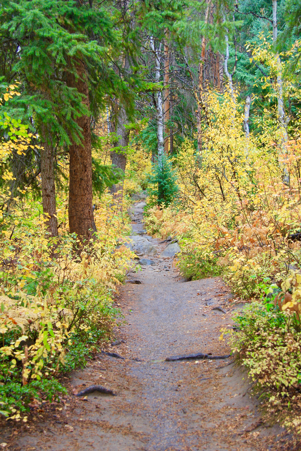
The trail to the view point descends from the get go and winds through Pinon Pines with growing views of the canyon floor. There are a couple of places where the trail is perilously close to the abyss, but there are plenty of trees to grasp if vertigo strikes.

The destination is a broad flat area with comforting fences along the edges. Echo Park, which can be reached by a long dirt road, marks the actual convergence itself hidden from view behind round Steamboat Rock.

The other side of the viewpoint gazes down onto "the whirlpool", a section of the Green River that river pioneer John Powell (of Colorado River and Lake Powell fame) disliked in the extreme.

Western side of the Harper's corner overlook showing the Green River and Whirlpool Canyon
The true star of the show, however is the sedimentary world brought into dramatic relief by the rivers themselves. Up the Green River Canyon (to the left) are five separate layers of sedimentary rock. Closer to the viewpoint, a large and obvious geologic fault has tilted the rock layers vertical creating a topsey-turvy world that is stunning to see.

Anyone who loves the geological parks in Utah will want to make a pilgrimage to Dinosaur National Monument. In comparison, the views are both unique and informative. The power of water, time, and geological force is so evident, it can't help but make you want to run out and get a geology degree.

One should note that at one point the powers that be were going to dam the rivers in this area, which would have buried all of this scenery under a wall of water. Instead, the dam was built upstream at Flaming Gorge. This was a near miss in the continual battle between the need of man for water storage in a dry world and the natural world such storage inevitably changes.

Yampa River "bench"
Be advised that this area is a high desert and lows temperatures can compete with Barrow Alaska. As such the road itself is closed in winter and may not open until June.

North Rock Creek Snowshoe

Distance: 4 miles round trip Elevation: 9,180 ft to 9,780 ft Elevation Gain: 600 ft Dogs: Off leash until the wilderness boundary North...