Showing posts with label steamboat springs. Show all posts

Thursday, April 27, 2017

Fish Creek Falls (Lower and Upper)

Distance: 0.5 miles round trip to the Lower Falls, 5.4 miles round trip to Upper Falls
Elevation: 1,227 ft
Elevation Gain: 7,530 ft -8,757 ft
Bathroom at Trailhead: Yes
Fees: $5/vehicle or Federal All Access Pass
Tags: #waterfall, #hiking, #coloradooutdoors, #steamboat

Fish Creek Falls near Steamboat Springs, CO
Lower Fish Creek Falls near Steamboat Springs, CO is a perennial favorite with tourists because of its dramatic setting and 280 ft drop. The lower falls can be accessed via a short 1/4 mile gravel path that most folks can access. At the bottom is a bridge over the creek that affords everyone the chance to be Ansel Adams without having to step far from the car. Spring runoff is a particularly good time to visit, just be advised you won't be alone and may have to bump a few selfie-stick holders off the bridge to get your shot.

Nearly accessible trail to the lower falls
Typical rockier segment
Upper Fish Creek Falls is 2.2 miles further up the trail and is a lovely hike for those with the ability. The route wanders in and out of Aspen groves, which makes it particularly pretty in Autumn. The falls themselves are shorter than the lower falls but are much more accessible. You can scramble right up to the base if desired or stand back for an optimal view.

Example of a softer trail segment
The day we hiked to the upper falls, it was snowing and foggy and yet there was still yellow leaves on the trees so we ended up Jekyll and Hyde'ing it between Autumn and Winter every few hundred yards. Humidity is not my friend and I grumbled because my eyeglasses kept fogging up and I expelled my breath with each lurching step upwards. The return trip was better and I could marvel and the gorge the trail follows as well as the Aspen gauntlets that had everyone cooing. Had their been puppies and kittens too, world peace would have spontaneously occurred.

Upper falls
Autumn bling
The trail to the upper falls alternates between soft trails and exposed rock, the latter of which can be quite slick when wet.

Fall colors in the fog
To get to the trailhead, travel north on third street then turn right on fish creek falls road and travel 4 miles to the trailhead. The parking lot is large but can easily fill up.

Saturday, August 16, 2014

Dumont Lake and the Continental Divide Trail

Distance: 5 miles round trip
Elevation: 9,620 ft - 9,940 ft
Elevation Gain: 505 ft (cumulative)
Bathroom at trailhead: Yes, within the Dumont Lake Campground
Dogs: Off leash
Date Hiked: 5 July 2014
Critters: Mosquitoes by the swarm

Dumont Lake, on Rabbit Ears Pass will make your eyes pop!
In spring, the Continental Divide Trail (CDT) near Dumont Lake is a study in the primary colors of green and blue. The wide open meadows surrounding the lake are off-to-see-the-wizard green while the sky above is that deep Colorado blue that is the envy of much of the world. Together they are almost too dazzling to behold, a summer tableau that will make you forget that winter is only six months away.

Satellite image of the area showing the lake, picnic grounds, campgrounds, and trail (starts near the tent icon)
Small parking area at the nondescript trailhead
Heading out on the double track trail that parallels the lake
Dumont Lake is located 22 miles southeast of Steamboat Springs on Highway 40 in the wide open expanse of Rabbit Ears Pass. Turn north on Forest Service Road 315 and follow the signs to the Dumont Lake Campground, about a mile off the highway. Note the lake itself is in the picnic grounds, but the trail starts in the back loop of the campground. There is a small trail sign and parking for two cars parallel to the road.

Green and blue are the dominate colors of Dumont Lake.
Lupine
From this nondescript beginning, follow the double track trail that parallels the lake. You can't get to the shore, unless you want to slog through knee-deep marsh for 50 yards or so, but the views of the lake and the sky are worth staying back a little.

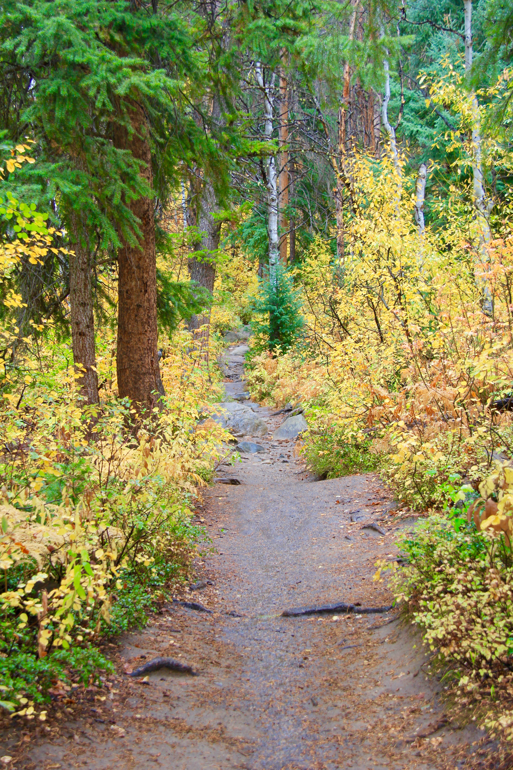
Heading up into the trees
Out of the trees and entering another large meadow
It takes a mile to traverse the shoreline to where the aptly named Muddy Creek flows into it from another large bog. Don't be surprised when the trail crosses the creek and heads sharply uphill into the trees, it will soon head north again.

The trail skirts the edge of this endless meadow that could hold a couple of herds of elk!
Glacier Lillies, a moisture loving flower covered the meadow so we knew the snow had just melted.
From this point on the trail wanders in and out of meadows and stands of pine that even in early July were filled with snow drifts, dead fall, knee-deep puddles, and obligatory mosquitoes. It wasn't until 2.5 miles in that we finally gave up. I don't know how all the mountain bikers were managing given that we were detouring every 30 yards and climbing over downed trees. Later in the year, when the Forest Service has cleaned up the trail, you can continue northwards on the CDT towards Steamboat Springs or turn right off onto the Forest Service Road 315 for a loop hike. Most of the bikers were attempting this route. They seemed to be happier the more heavily coated in mud they were.

An easily passable section where the trees across the trail had been cut and the snow had melted. Deeper in the forest that was not the case.
Our turn around point. That is the trail ahead, both underwater and blocked by a snow bank with a Fir tree on top of it.
In winter, Rabbit Ears Pass is a snowmobilers paradise but in summer it is a haven for campers and the occasional Moose. The CDT here is easy and suitable for novice hikers. Just be prepared to have company. With this kind of scenery next to a campground, you won't be alone! If you want to spend time at the lake, visit the picnic grounds. Be advised there is a day use fee there.

Saturday, September 17, 2011

Scenic Drive: Co 129 to Seedhouse Rd

The Mount Zirkel Wilderness Area lies at the end of Seedhouse Rd north of Steamboat Springs
 There are a lot of scenic drives in Colorado, but I particularly like taking Co 129 north out of Steamboat Springs to Seedhouse Rd. On this route you will pass bucolic ranch land, lazy rivers bordered by colorful cottonwoods, some seriously attractive homes and then end up in the Mount Zirkle Wilderness Area. The day we took this drive, we were hoping to hike but Autumn had arrived and it was cold and rainy. We settled for exploring the nooks and crannies of route itself which worked out well. These are things you miss when racing to a trailhead.

The Elk River parallels Co 129 and in several places bridges cross it for pleasant views.
Another view of the Elk River
Once you turn on Seedhouse Rd, you are still following the Elk River, but the further one progresses up the road the less domesticated it feels.
Some fall color viewed from the side of the road
I love twisty roads bordered by color
The Elk River is much wilder at this point
This part of the river interested me because of the gouges carved in the rocks by the flow.
Angus cattle graze in one of the many meadows along CO 129.  The Elk River is further from the road now but you can tell where it is by the line of Cottonwood trees.

North Rock Creek Snowshoe

Distance: 4 miles round trip Elevation: 9,180 ft to 9,780 ft Elevation Gain: 600 ft Dogs: Off leash until the wilderness boundary North...