Tuesday, August 9, 2016

Meadow Mountain

Distance: 7.3 miles round trip
Elevation: 8,940 ft - 11,632 ft
Elevation Gain: 2,692 ft
Bathroom at Trailhead: No
Dogs: On leash
Date Hiked: 20 August 2015
CMC Rating: Easy C
HashTags: #peakbagging #coloradooutdoors #rmnp #tundra, #gearguide


View of St. Vrain Mountain from the slopes of Meadow Mountain
Meadow Mountain, near Allenspark Colorado, is an 11,632 ft peak sandwiched between the Indian Peaks Wilderness and Rocky Mountain National Park. The trail is a rocky slog that is more fatiguing than the distance and elevation gain would warrant but the views of Long's Peak from the summit are stunning so everyone should make the trip at least once.

Parking lot and trailhead
A typical trail segment, very rocky
View back down the valley
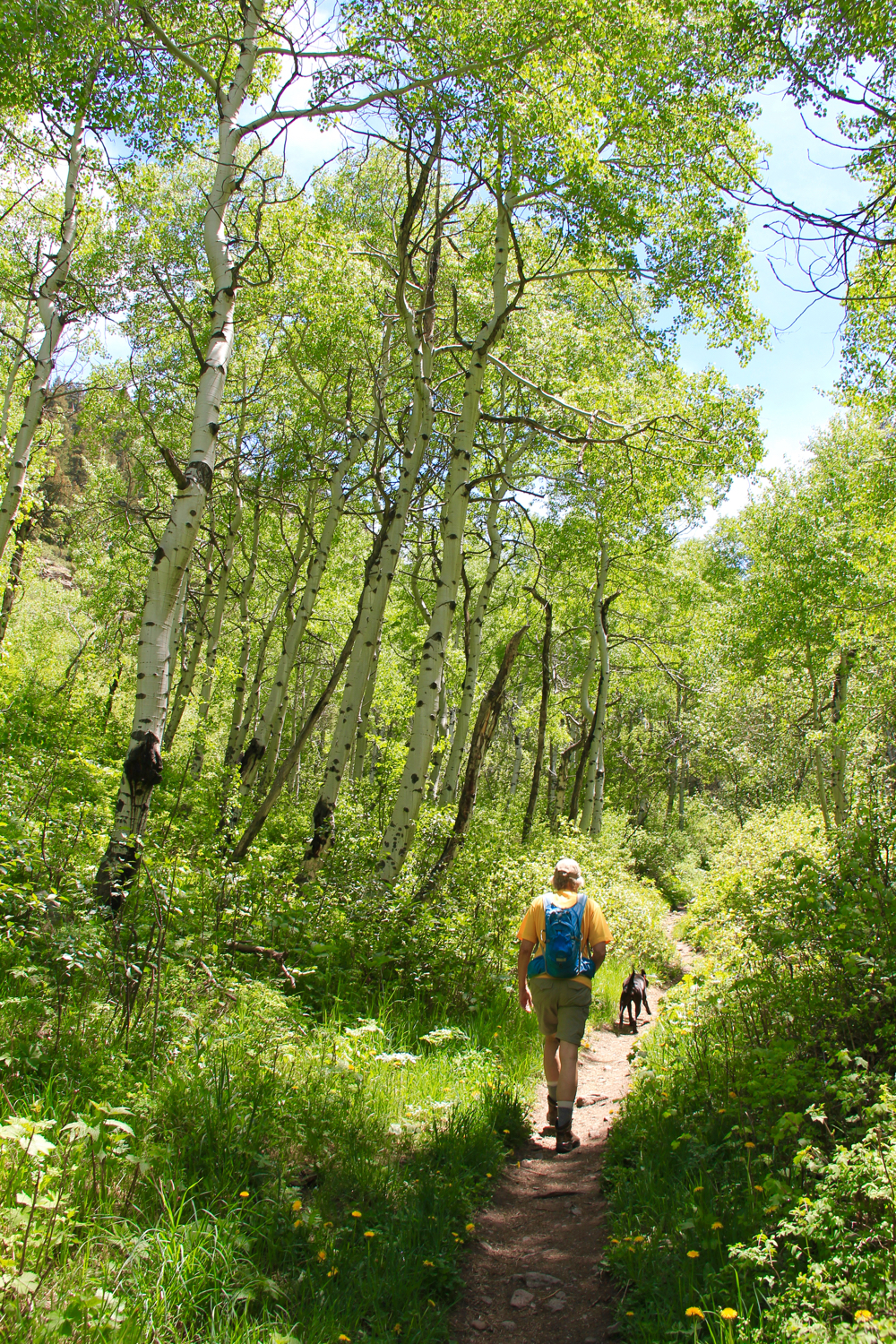
The trail to Meadow Mountain starts at the St. Vrain Trailhead. To get there, take County Road 107 (Ski Hill Road) out of Allenspark for 1.5 miles and then turn right on Forest Service Road 116 for 0.5 miles. Both roads are dirt. FSR 116 is getting eroded and while still passable with a passenger car, some zigzagging is required to find the least objectionable route.

Finally getting above treeline. Looking at an unnamed peak to the south.
Heading to the saddle. That is St. Vrain Mountain in the distance.
Looking up at Meadow Mountain from the saddle
The bulk of the trail is pretty much the same. It travels through Aspen, Spruce, and Limber Pine, making several sharp switch backs further up the valley. At 0.7 miles is the wilderness boundary, and at 1.9 miles is a small stream crossing. At 2.5 miles the trail finally breaks above treeline. The saddle is located at 3.3 miles (11,198 ft/1,844 ft elevation gain). Head to the left to continue on to St. Vrain Mountain or turn right and summit Meadow Mountain.

Heading up to the summit with hazy Indian Peaks in the distance
Approaching the summit
Long's Peak from the summit
The views from the saddle are stunning. St. Vrain Peak lies to the south while to the west is Wild Basin area of Rocky Mountain National Park. The hike up to the summit is not as difficult as it looks. Fifty percent of it is mostly tundra. The other half is a large talus pile. I had to put my camera away to scramble over some of the larger rocks. There is no preferred way to the summit. Some drift to the right others go straight up.

Weather station
Rock Shelter
On the summit
The summit is big enough to hold a high-school football game. There is a small solar powered weather station and a rock shelter. The latter really comes in handy when the winds start to blow. On this trip, the area was filled with smoke from the western wildfires and the peaks were obscured in haze.

Heading down

Monday, August 8, 2016

Game Creek

Distance: 6.6 miles round trip to meadow with view, 7.5 miles round trip to picnic table
Elevation: 8,005 ft - 9,917 ft (meadow) 10,077 ft (picnic table)
Elevation Gain: 1,904 to meadow, 2,157 ft to picnic table
Dogs: Off Leash
Bathroom at Trailhead: No
Tags: #hiking, #coloradooutdoors, #fallcolor, #vail
Other hikes in area: Two Elks Recreation Trail


Game Creek near Minturn, CO is an Aspen covered dream. 
Game Creek near Vail and Minturn, CO is moderate hike through a never ending Aspen grove to a lofty ridge with killer views of Mount of the Holy Cross. Game Creek itself roars in the spring providing easy access to cooling waters when temperatures soar. This lesser known hike is also one of only two places in Colorado I have seen Red Columbine. 

Parking area
Trail starts up this spur road between some houses
Red Columbine
The Game Creek Trail starts out next to a home and quickly climbs uphill to a small shelf skirting private property. Strings of rope and surveyors tape admonish the hiker to stay way from their land. Once past this property, the trail dips back down to the valley floor and crosses the creek at a small bridge.  From this point on it travels up the valley, keeping Game Creek on the right. There are several places where you can walk right up to the water and others where it is several hundred feet below.

Lower part of the trail is lush and hot in the spring. 
A more open area
The creek is further below here.
This trail will give your cardiovascular system a workout. It gains around 670 ft in 1.2 miles and 1,000 ft in 2.0 miles. If you hike it in the spring, it may feel more like a tropical jungle than a hike in the mountains. The vegetation is that lush. On the south side of the creek, towering Engleman Spruce dominate.

Towering spruce
Another Aspen grove
Some milestones along the way include the junction with the Cougar Trail at 0.6 miles and the sharp turn to the left at 2.3 miles. At 3.3 miles, which is up on the ridge,  is an open meadow with views of Mt. of the Holy Cross. This is a great place to stop and have lunch. The trail does continue for another half mile to an old picnic table.  This latter bit is only necessary if you are looking for extra mileage. The views don't improve much.

After the turn the Aspen continue
View from the ridge
You get to Game Creek from Hwy 24 in Minturn, which is just south of I-70 and just west of Vail. As you enter Minturn, look for bridge to the left as 24 merges into Main Street. Take this left turn and pass north of the large Saloon. Just past the Saloon is Rail Rd. Turn right here and then left on Taylor Road. This dead ends nears some homes. You will probably see one or two cars parked in a small parking area to the left. The trailhead itself is up a short (100 yard) spur that travels between the houses. A small wooden sign marks the start.

North Rock Creek Snowshoe

Distance: 4 miles round trip Elevation: 9,180 ft to 9,780 ft Elevation Gain: 600 ft Dogs: Off leash until the wilderness boundary North...