Distance: 6.4 mile loop
Elevation: 6,631 ft
Elevation Gain: 1,191 ft (cumulative)
Dogs: On leash only (State Park)
Critters: Rattlesnakes (warm weather obviously)
Date Hiked: 13 November 2010
Bathroom at Trailhead: Yes
 Standing on the east rim of Castlewood Canyon. Which monolith will fall next?
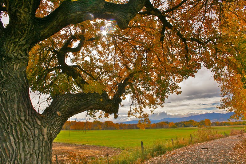
Many locals never realize that eastern Colorado is filled with mysterious canyons cut into the soft rock by long forgotten rivers. Filled with interesting rock formations, petroglyphs, or dinosaur tracks, these canyons make for interesting hiking, particularly in the shoulder seasons. Castlewood Canyon State Park, southeast of Denver, is one such canyon that is relatively close to the metro area.
 Thanks to my friend and hike leader Andy who gave me this image of route that he captured on his Garmin GPS. I need to learn to do this!
 Starting out on the Lake Gulch Trail
The particular features of Castlewood Canyon include cool rock formations, remnants from a devastating 1933 flood that flooded downtown Denver, and several distinct ecosystems.
 Looking down into the valley that was once Lake Louise. Note the Cottonwoods below. They signify the presence of water.
There are really two canyons in the park that form a slightly stretched bow tie. On this trip we walked a little over 6 miles in a figure eight around the bow tie. The route also went up and down with half our trip being on the rim and half along the creek.
 Crossing Cherry Creek on some boulders. There is a bridge farther up for the feint of heart.
 Looking back across the creek for a more natural view.
Our route began on the Lake Gulch trail just past the Canyon Point Parking Area. We walked along the top of the rim to a view of the valley that was once Lake Louise. Ranch land today, the valley looked lovely with a light dusting of snow glistening in the sun.
 Standing on the eastern side of the dam ruins. You can see the Creek Bottom (G) Trail far below.
The route descended to the valley floor and then crossed Cherry Creek on a series of boulders. Now on the Rimrock trail, we passed the remains (at 1.18 miles) of the dam built in 1890. The dam broke in 1930 and flooded downtown Denver. The destruction of the water made as it gouged it way forward is still visible today.
 The only steep section of the route was heading up the Rimrock trail to the eastern rim.
Just past the ruins, the Rimrock Trail quickly ascends (at 1.35 miles) to the top of canyon. This area is a flat plateau filled with smooth rocks and coniferous trees. There are several places where the hiker can get a glimpse of the rocks as they are splitting away from the canyon sides. In the summer, this area bakes in the sun and Rattlesnakes rule.
 Looking west just after reaching the top of the rim
Our decent near the end of the canyon (at 2.72 miles) was precipitous because ice from the recent snowfall had melted into the nooks and carnies, making the entire route slippery. From this point we traveled across a bridge (at 3.23 miles) and along the Creek Bottom (G) Trail to a small waterfall (at 4.26 miles) and then back to the dam (at 5.11 miles).
 A typical section of the eastern rim. Ponderosa Pines and Junipers dominate. Can't you just picture a rattlesnake curled up on the round rock?
 Looking northwest towards the city of Parker
We stayed low as we switched to the other side of the bow tie and the Inner Canyon (K) Trail. This route followed the sunny side of canyon, which is filled with sun-loving Gambel Oaks
(Quercus gambelii). The Gambel Oak loves thin, rocky, and alkaline soils. You find them all over
Mesa Verde National Park and the four corners region of Colorado.
 A nice view showing a hillside of tumbled rocks. Geology is not stagnant. We will be walking along the creek below on the return route.
In stark ecological contrast, the other side of the Inner Canyon was covered in shade and moisture-loving Douglas Firs
(Pseudotsuga menziesii) and snow, snow, snow. While we basked in the "heat", we marveled at winter on the other side
 The waterfall part way up the Creek Bottom Trail is packed with bathers in the summer. The landscape, including the sandstone bluffs on the left was carved by flood of '33.
Near the end of the Inner Canyon is a bridge where we finally crossed over to the snowy side. We crossed a bridge and stepped through the looking glass into a different world. Was this Narnia or Never Never Land? Every branch was coated with huge clumps of snow that looked more like a movie set than reality. From the bridge, it is a quick jaunt up the side of the canyon to our starting point (at 6.4 miles).
 Looking back down the Inner Canyon at all the rocks.
Castlwood Canyon State Park is a local gem that you need to try. It can be dry and stark in the winter, brutally hot in the summer, and stunning in the spring and fall. On this trip, Denver had received it first light snowfall, and the contrasts made the area very appealing.
 Crossing into winter. The leafless Gamble Oaks and rock cliffs are stark but dry. The northern side of the canyon is covered in snow.
 Rainbow Lake on less than stellar day
 Leaving the parking lot and heading to the bike path
  Walking along the snow-filled bike path
 One house had filled its back yard with interesting cairns
 Standing in the Zach's Stop parking area. Note the brown trail sign.
 A typical trail segment in the Aspens
 Coming into Rainbow Lake
 Twisted roots in the snow
 Heading back out
 Passing a small stream with ice
 Heading back through the willows